PHOTO GALLERY
-
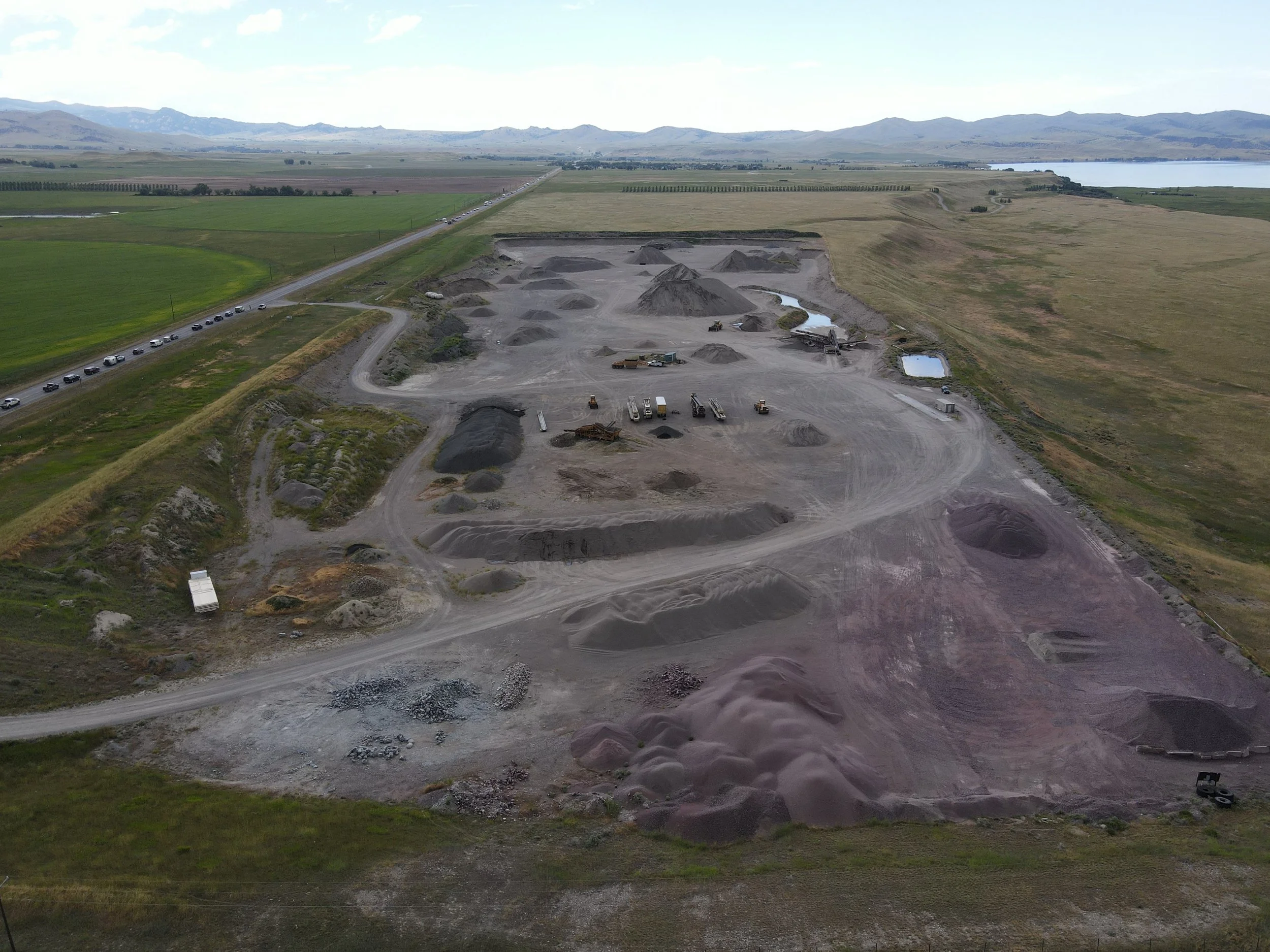
![]()
Aerial of present mine. Ennis Lake and Town of McAllister in the background.
-
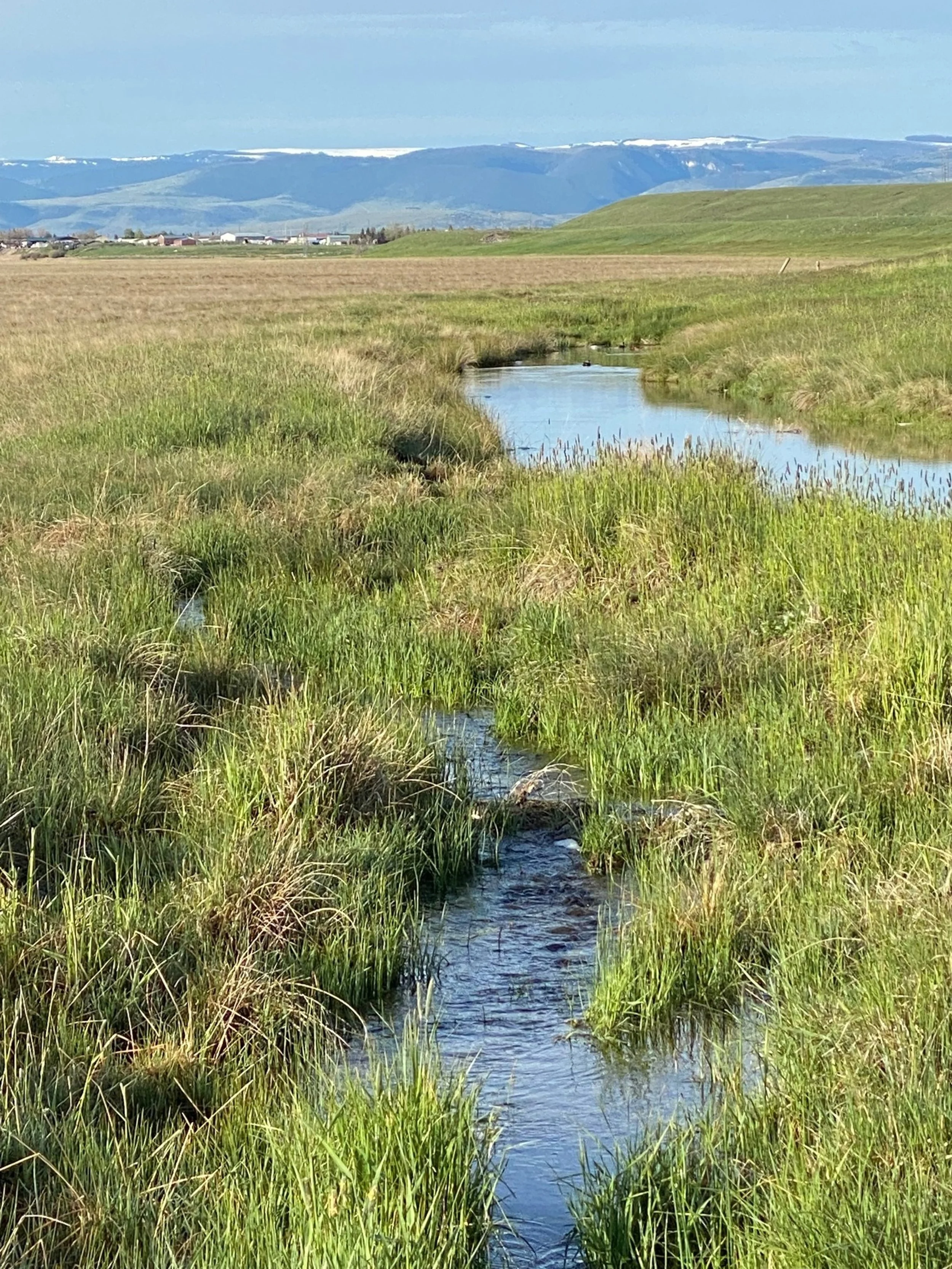
![]()
Flowing water "ditch" less than 1000 feet from current mine and directly next to natural terrace to be torn down. Town of Ennis in the background.
-
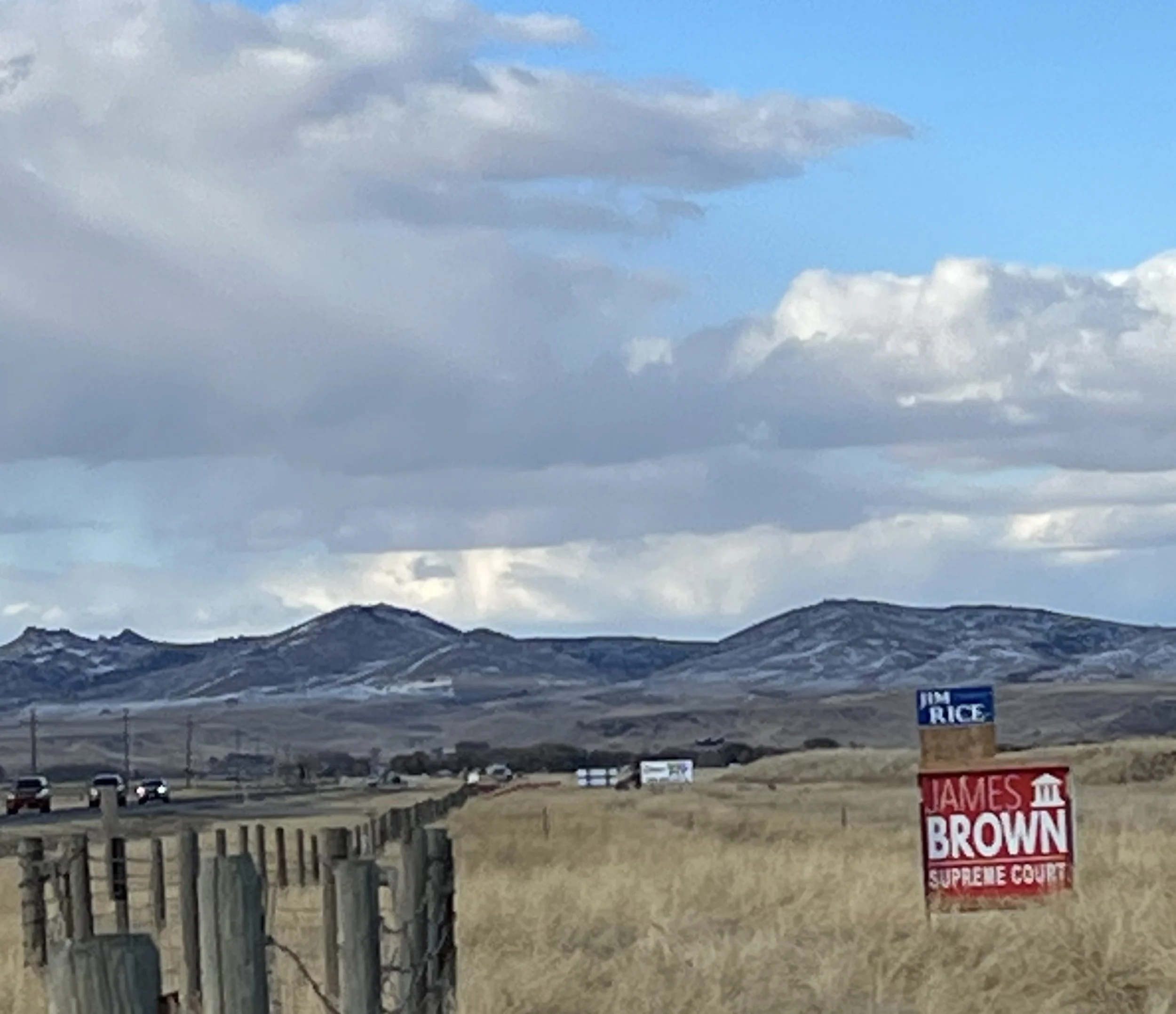
![]()
Political signs on State-owned land.
-
![]()
Political signs on State-owned land.
-
![]()
Under the supervision of the DNRC, AM Welles is allowed to consume significant amounts of water without any water rights or permit on State Lands.
-
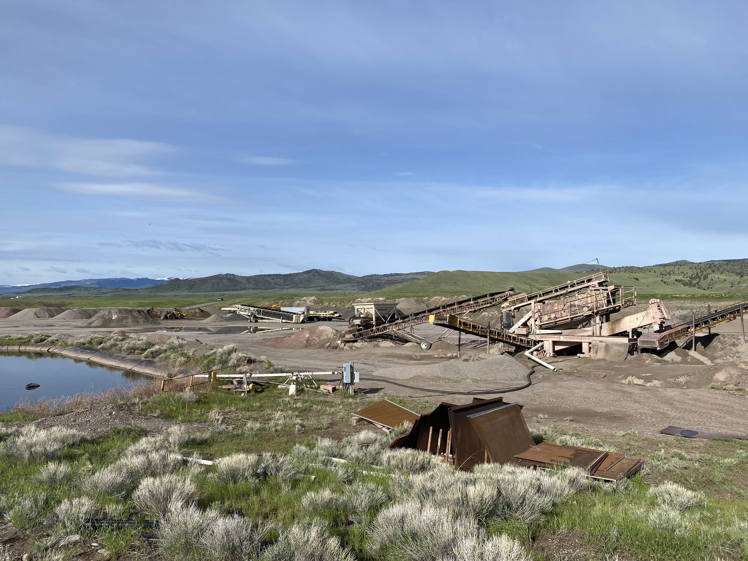
![]()
Presence of significant imported material (foreground) and construction equipment.
-
![]()
Daily operations of AM Welles mine with Ennis Lake in upper right and future asphalt plant and concrete crushing plant upper left. Eastern geologic bench protecting Madison Valley from visual, noise, and run off pollution in center will be eliminated.
-
![]()
Significant fugitive dust and silica blowing towards the residential community of Troutdale in McAllister, MT and Ennis Lake.
-
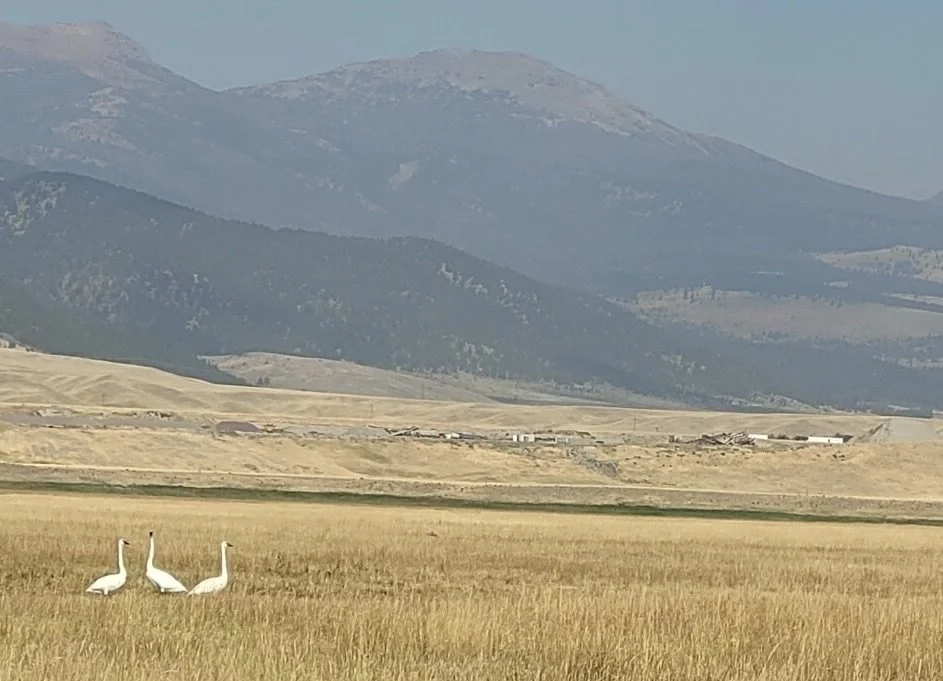
![]()
Tundra Swans in foreground - AM Welles mine and future asphalt plant in background.
-
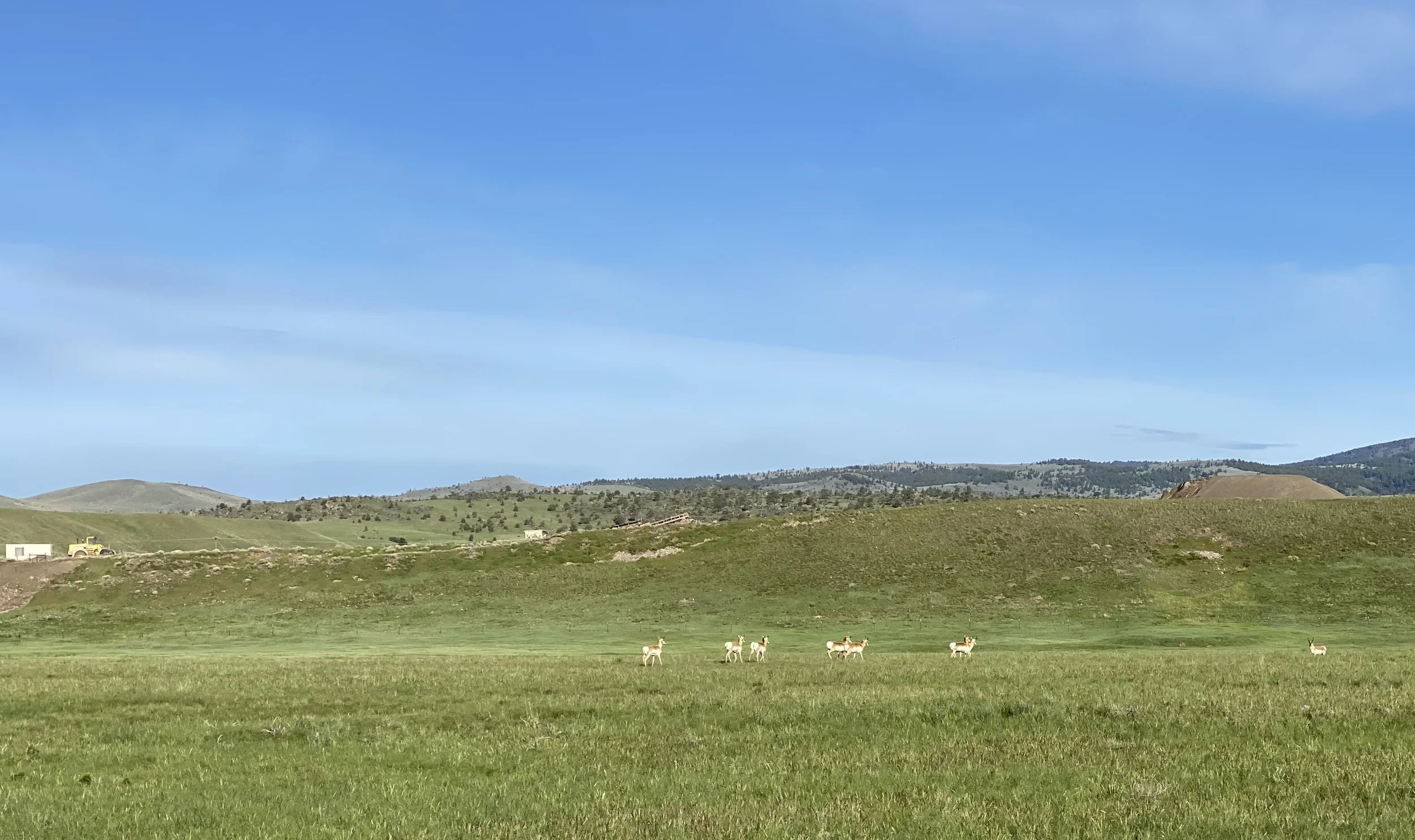
![]()
Spring calving area for Pronghorn Antelope (foreground). DSL PIT and mine in the background with natural terrace to be removed.
-
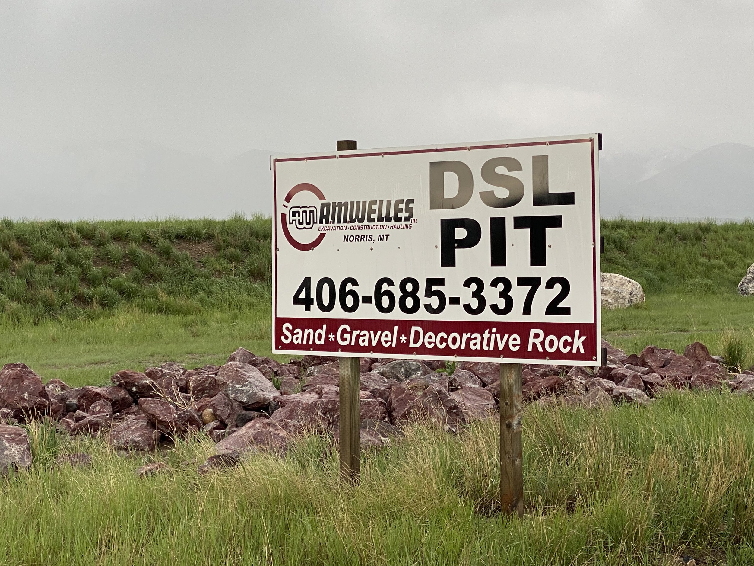
![]()
On State Land advertising the sale of Decorative Rock with imported material on side of highway.
-
![]()
Significant fugitive dust and silica blowing towards the residential community of Troutdale in McAllister, MT and Ennis Lake.
-
![]()
Mine in foreground and Ennis Lake in background with the Beartooth Canyon and the Madison River designated as an Outstanding Water Resource flowing through Lee Metcalf Wilderness. Also note that geologic bench will be removed exposing the entire Ennis Lake to the mine.